


 Download(5.63MB)
 1.0.1
1.0.1
 84.6KB
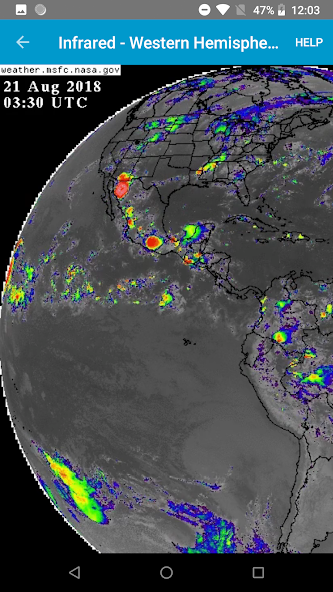
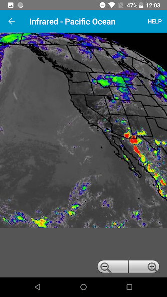
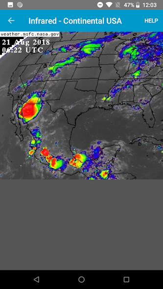
View current weather satellite imagery loops from NASA GOES
View recent infrared, visible, and water vapor loops from the NASA Geostationary Operational Environmental (GOES) satellite.
This app is good for seeing fronts, tropical storms, and hurricanes well before they arrive.
New data frames usually come once every 10 to 15 minutes and are added to the end of the loops automatically. Image timestamps are displayed in UTC.
This app is not affiliated with NASA or any government agency.
Available geographic views:
GeoColor:
West - PACUS
West - Full Disk
East - CONUS
East - Full Disk
Infrared:
East- CONUS
East - North Hemisphere
West - Pacific Ocean
East - CONUS Band 7
East - Full Disk Band 7
West - PACUS Band 7
West - Full Disk Band 7
Visible:
East- CONUS
East - North Hemisphere
West - Pacific Ocean
Water Vapor:
East- CONUS
East - North Hemisphere
West - Pacific Ocean
 Users also viewed
See all
Users also viewed
See all
updated
updated
updated
updated
updated
updated
updated
updated
updated
updated
updated
updated
Popular Games
See all
updated
updated
updated
updated
updated
updated
updated
updated
updated
updated
updated
updated